Skip links

Drone Mapping

Map, Model And Inspect With Drone Solutions

Drones are now a must-have in every surveyor’s toolbox. Last year, surveyors embraced drone technology. From the start of the project, drones will capture aerial imagery and help collect data for surveys, topographic maps, and 2D and 3D models. Because the drone uses it’s GPS readings, the data is highly accurate and faster than data collected by ground crew. Drone surveying has many uses in various industries such as: B. Construction, mining and aggregates, agriculture, urban planning and land management, public safety and environmental research

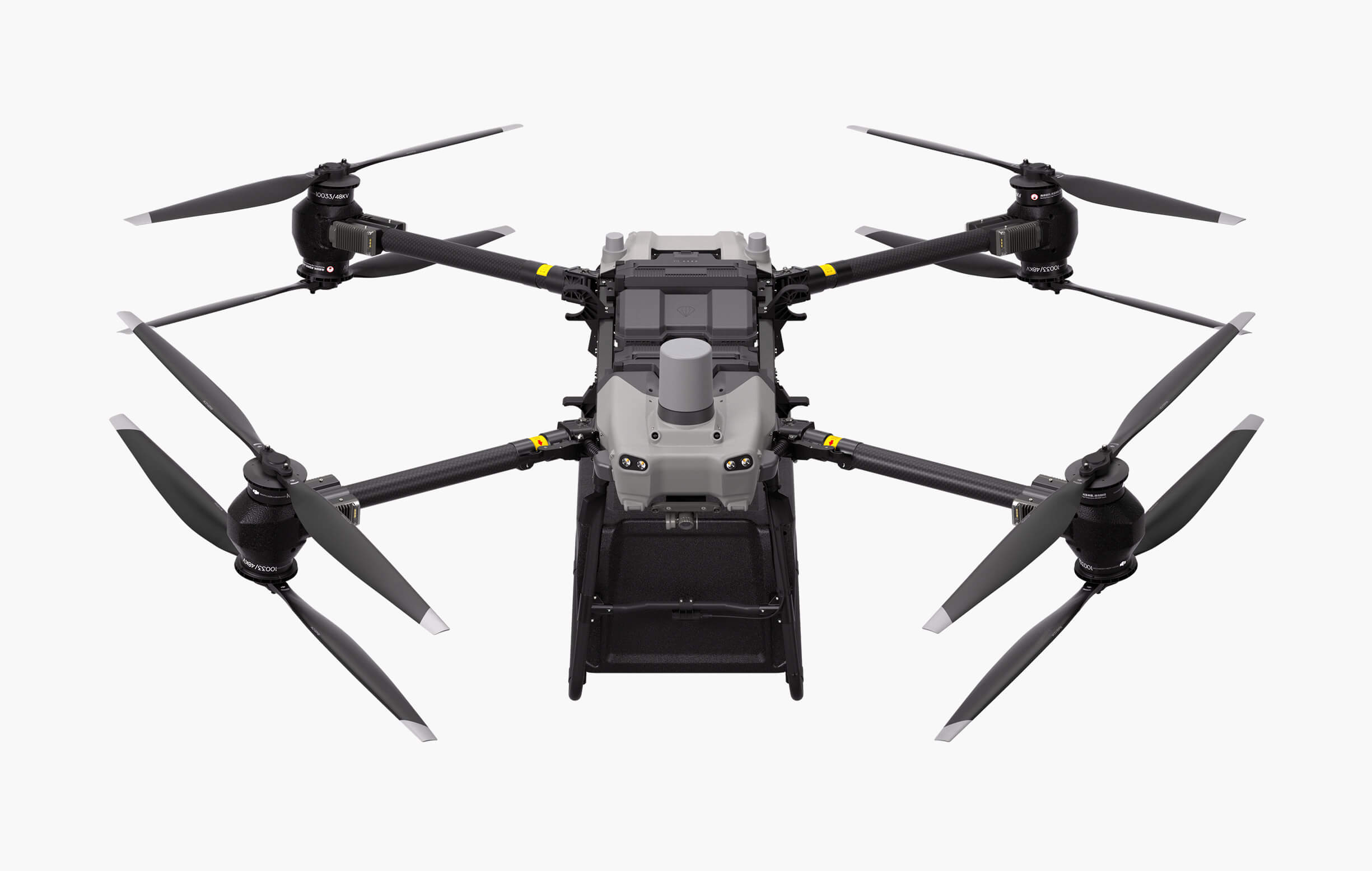
DJI FlyCart 30

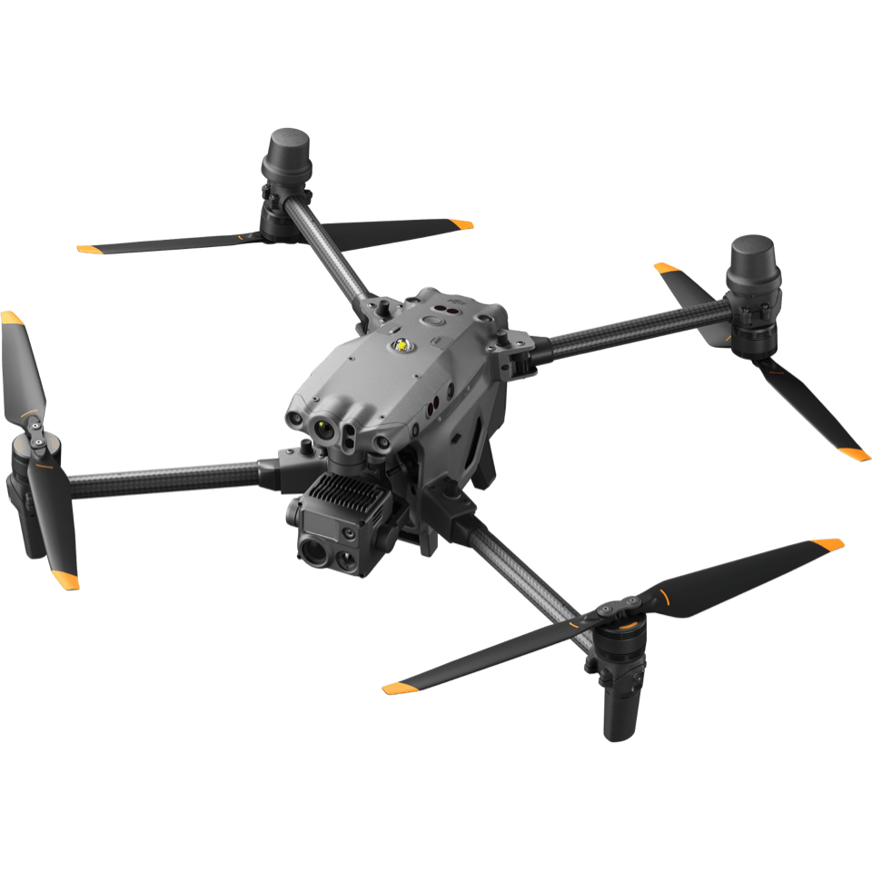
Dji Matrice 30T

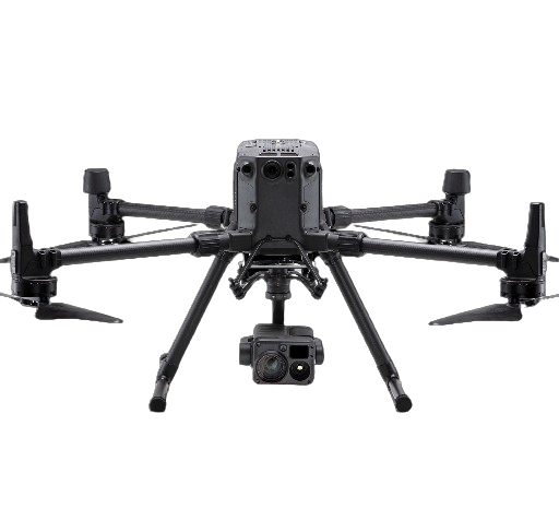
DJI Matrice 300

Geospatial

Geospatial drone solutions provide highly accurate digital deliverables for managers, surveyors and engineers, improving operations throughout the project lifecycle. Drones enable timely decision-making, cost savings, enhanced personnel safety, and optimal efficiency through aerial data collection. Perform topographic survey and generate a variety of data outputs with greater efficiency and reducing operational cost

Land Survey

Quickly generate accurate 2D and 3D models. Cover more ground, improve safety, and reduce costs.

Cadastral Survey

We also provide digital, informative, intelligent, and precise management solutions for commercial crops such as cotton, citrus trees, apple trees, and tea plants. As with grain crops, agoperators will find these options more convenient, inexpensive, and beneficial to crop quality and yield rate.

Urban Planning

We also provide digital, informative, intelligent, and precise management solutions for commercial crops such as cotton, citrus trees, apple trees, and tea plants. As with grain crops, agoperators will find these options more convenient, inexpensive, and beneficial to crop quality and yield rate.

Contact us to secure your needs.